The Loop
The Loop is an ongoing series documenting the bike paths in Tucson, Arizona.
Bike paths and rail trails provide widespread public access to the outdoors, recreation, and transportation. They have been an effective solution to safe bicycle transportation over the past decade. These projects often repurpose remnants of historical and industrial significance to a city. The placement of these paths makes them a window to the socioeconomic, political, and environmental conditions of a city, past and present. The relationship between manufactured and natural environments is on full display.
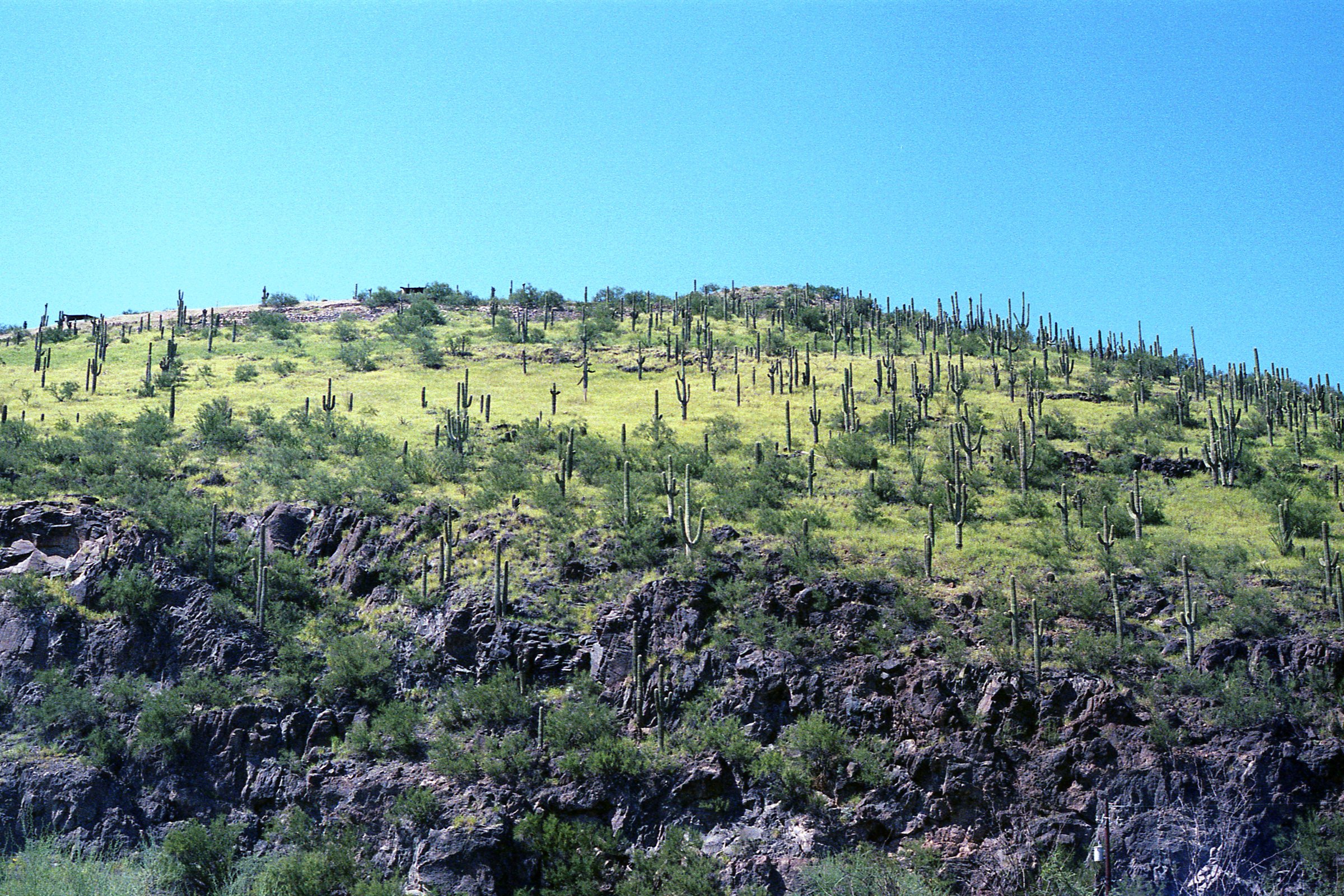
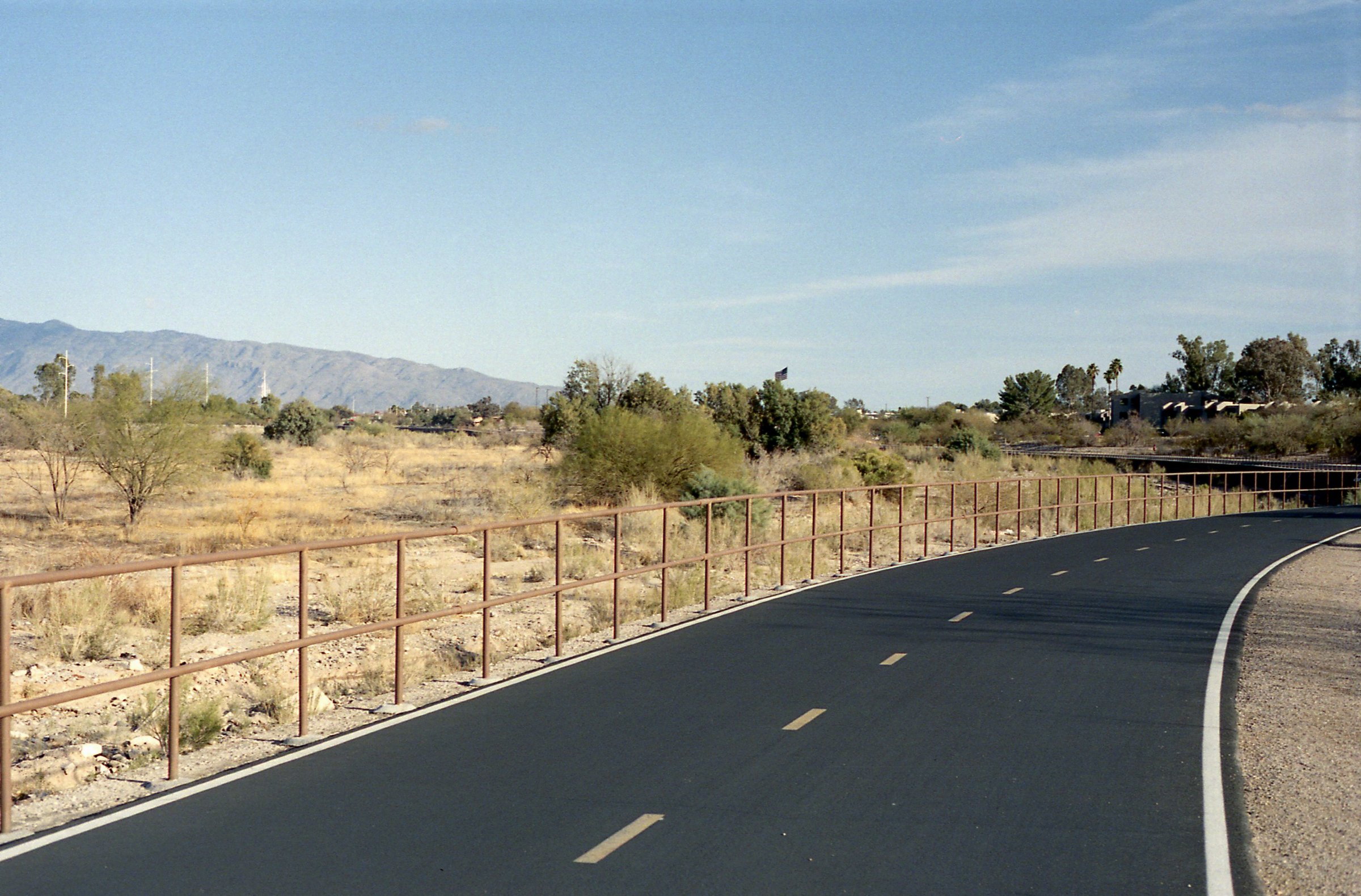
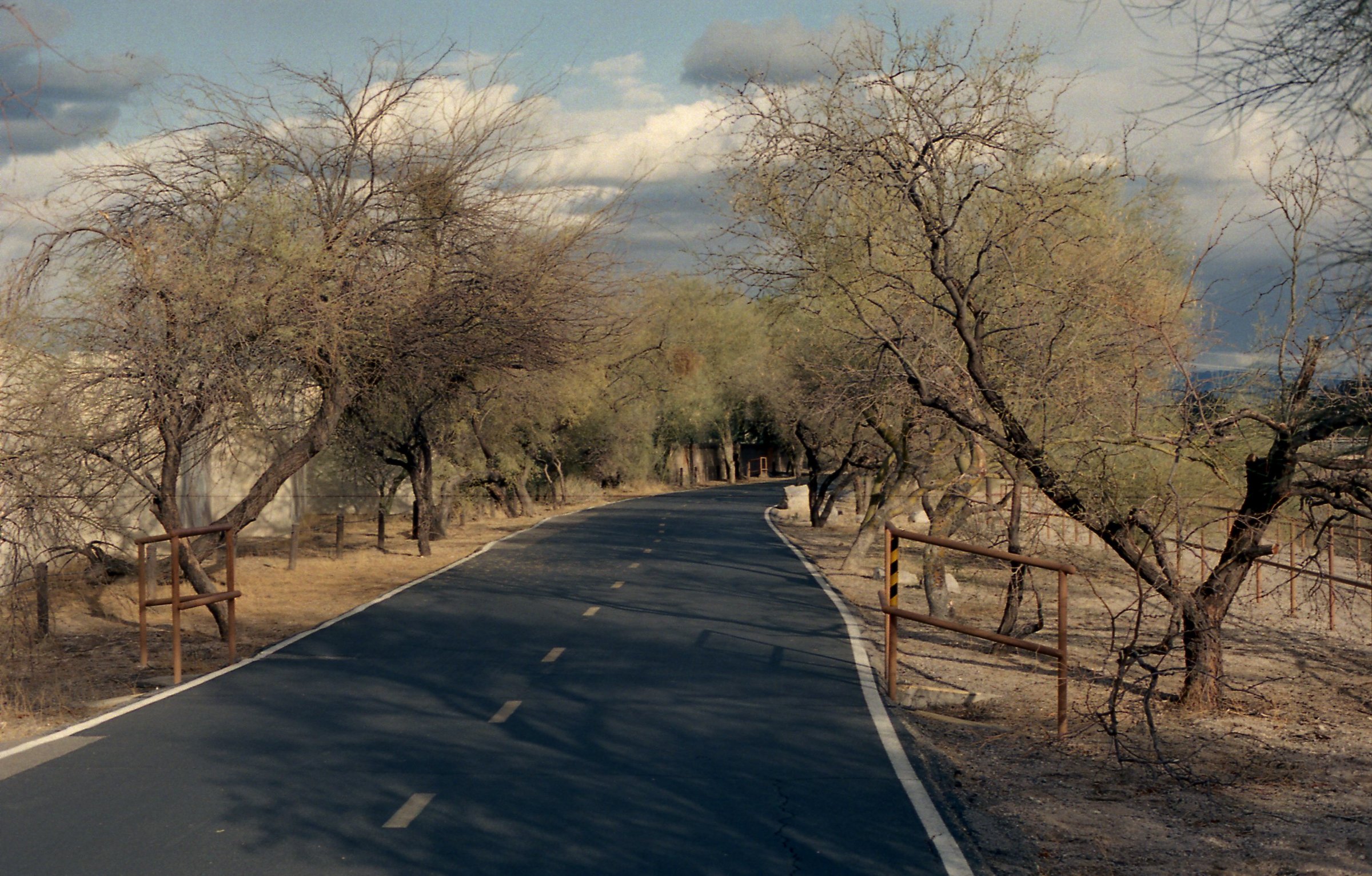
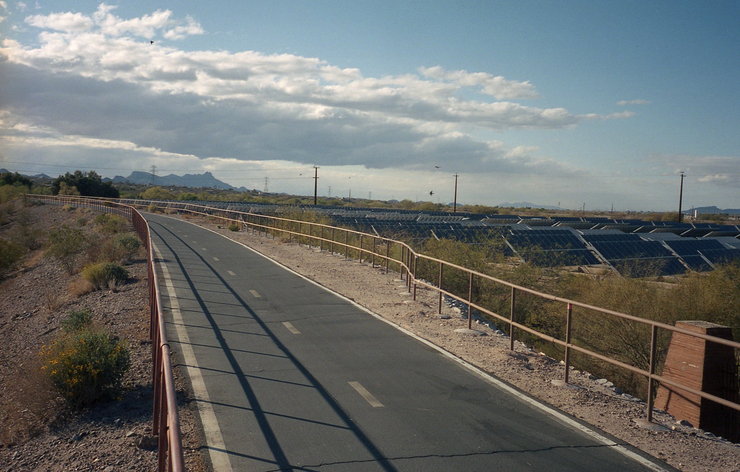
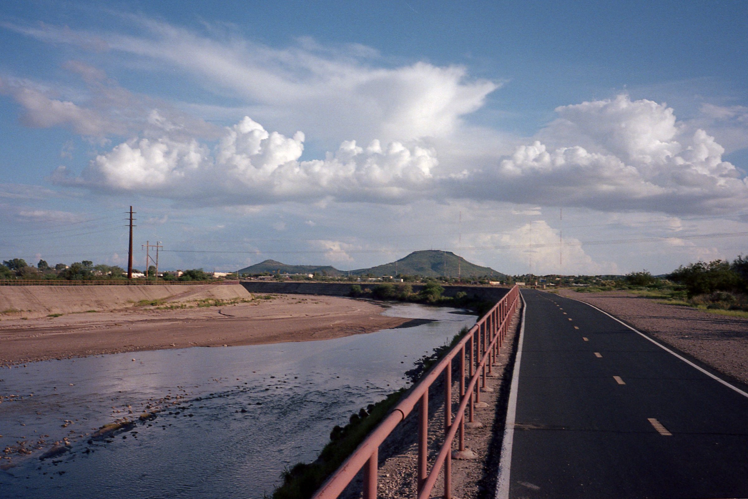
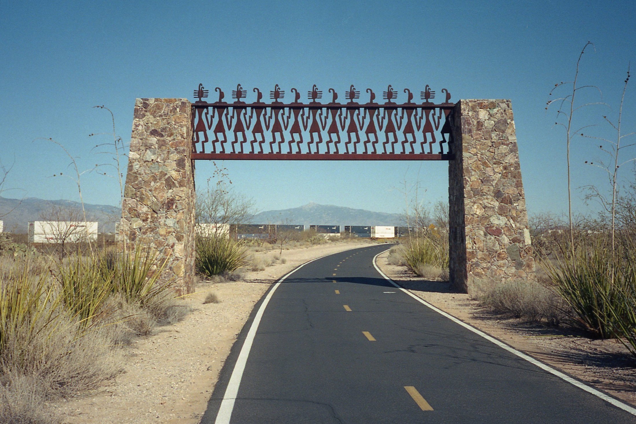
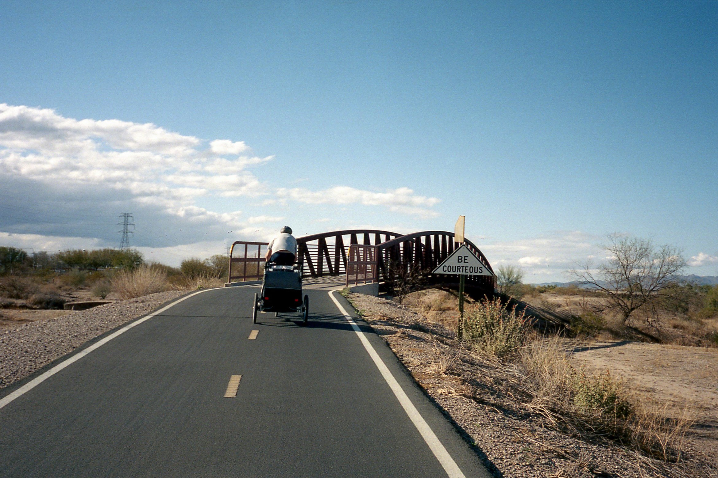
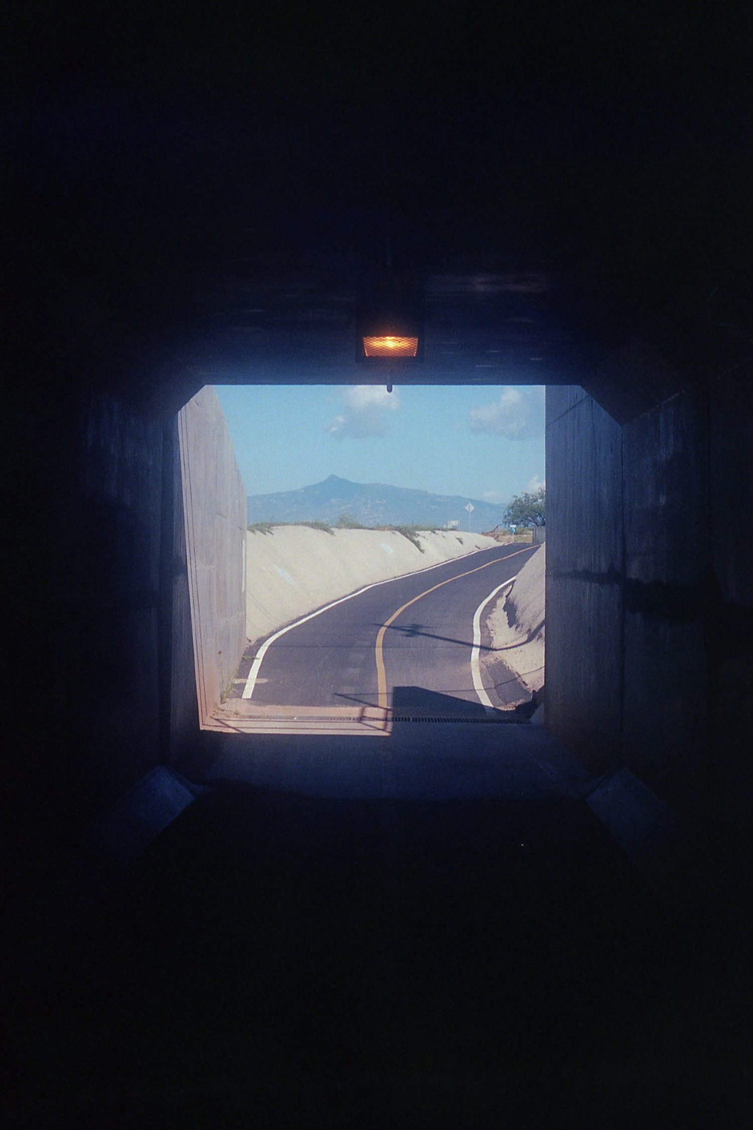
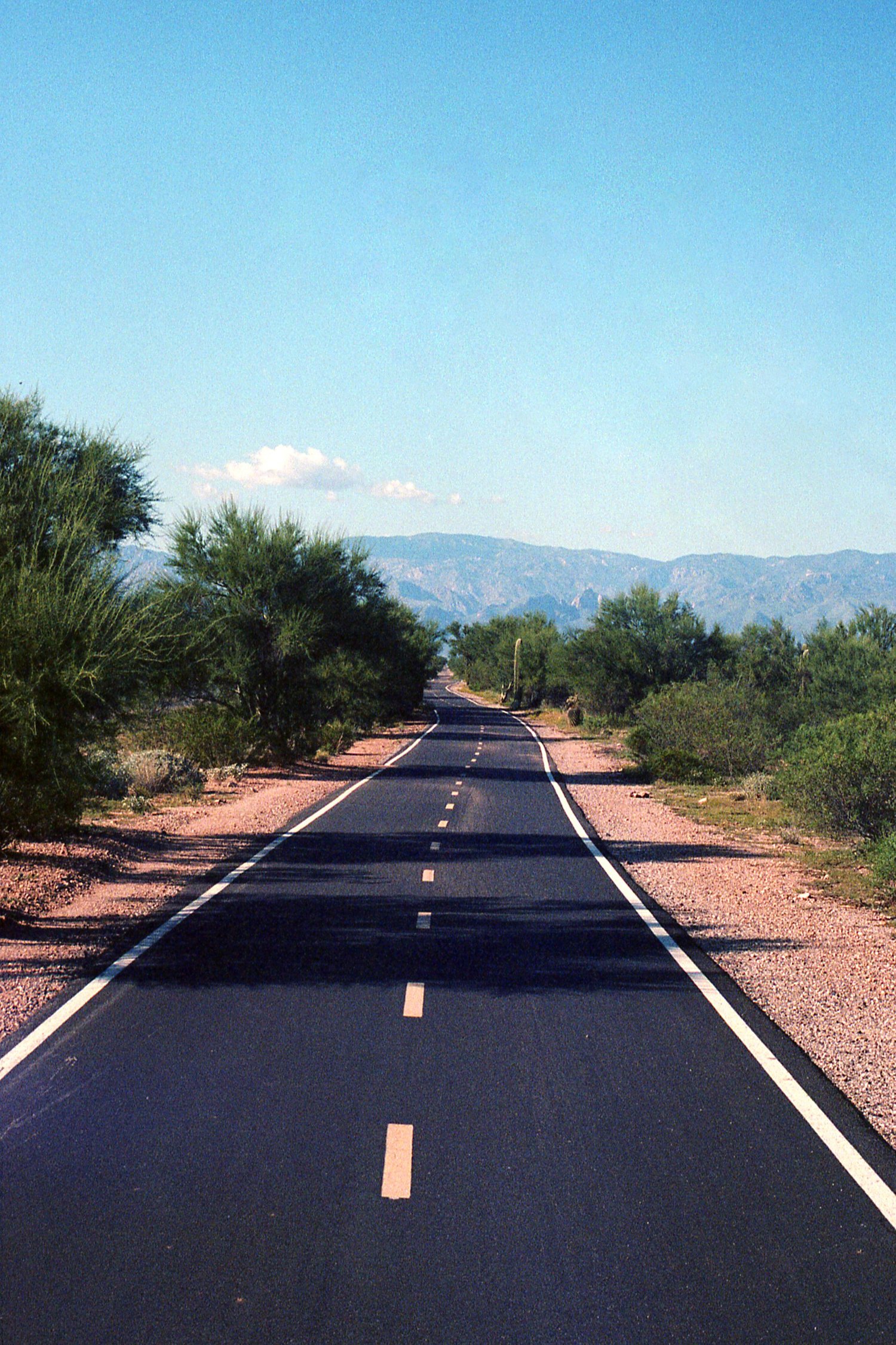
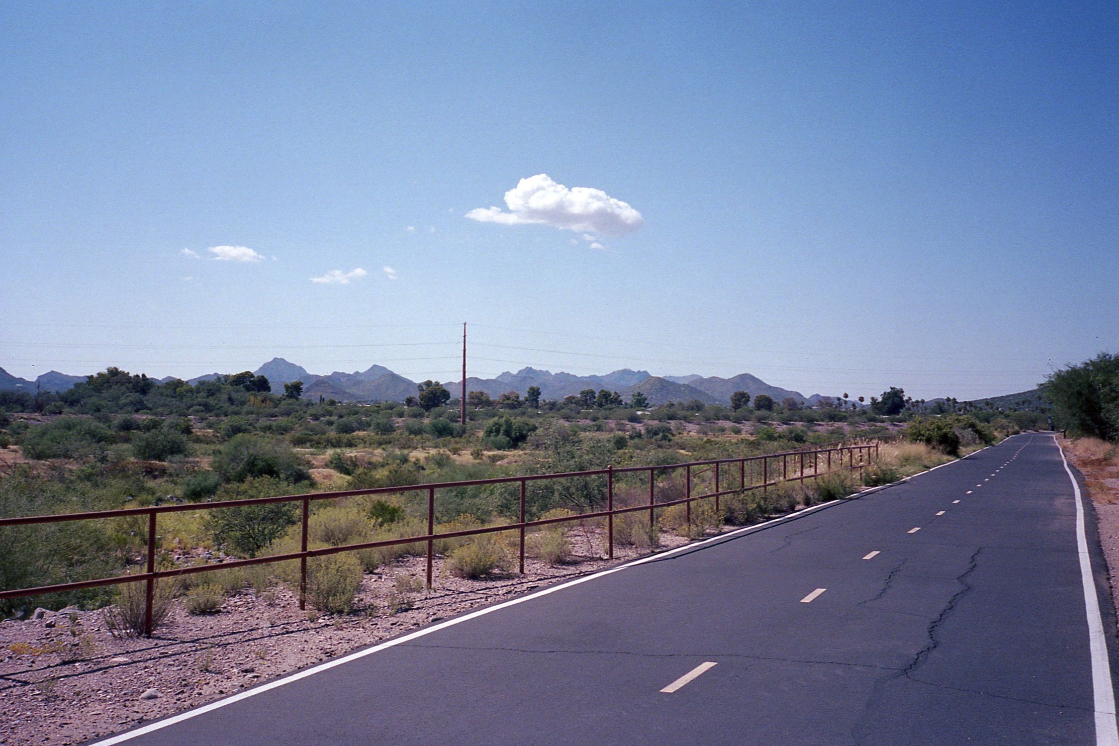
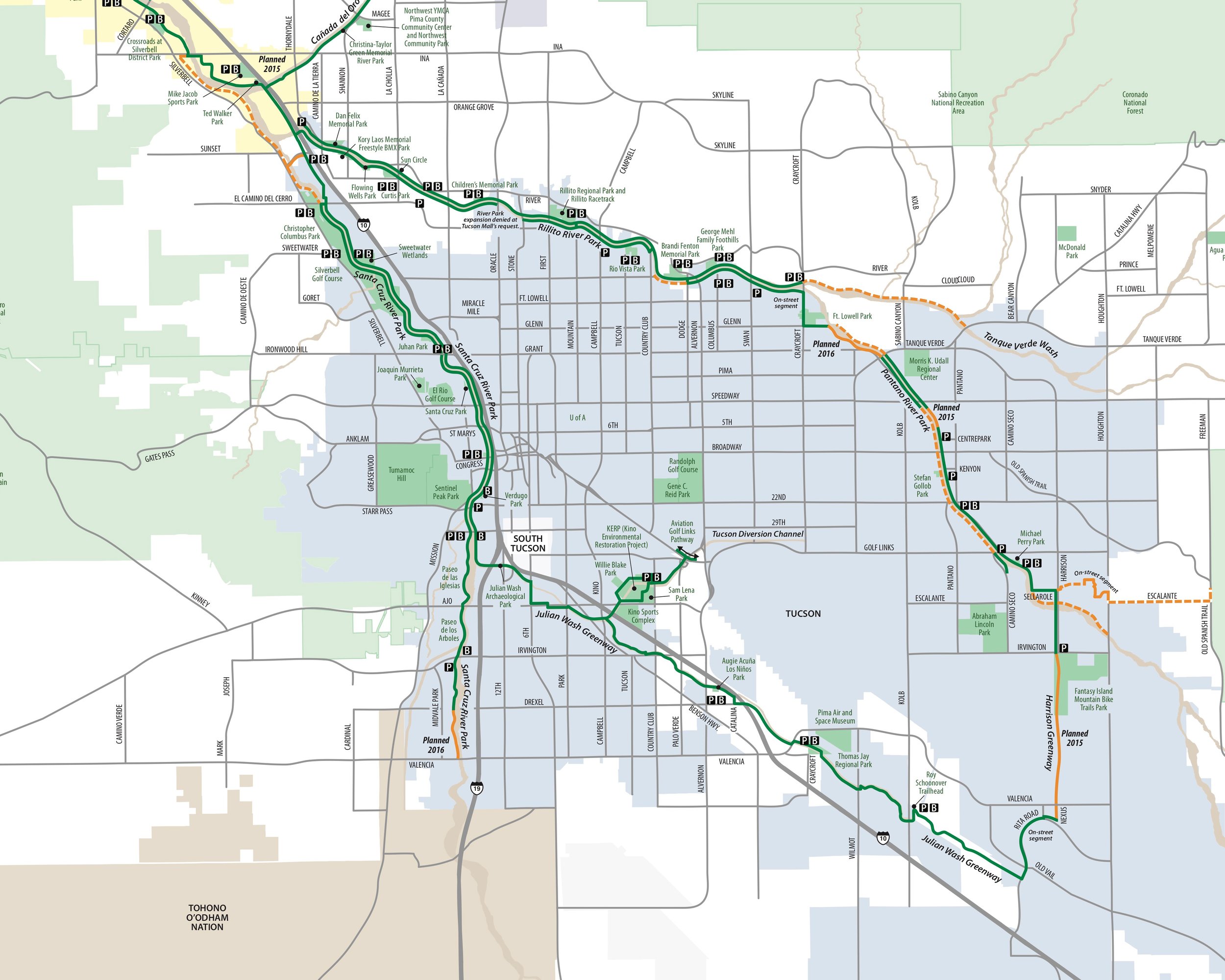
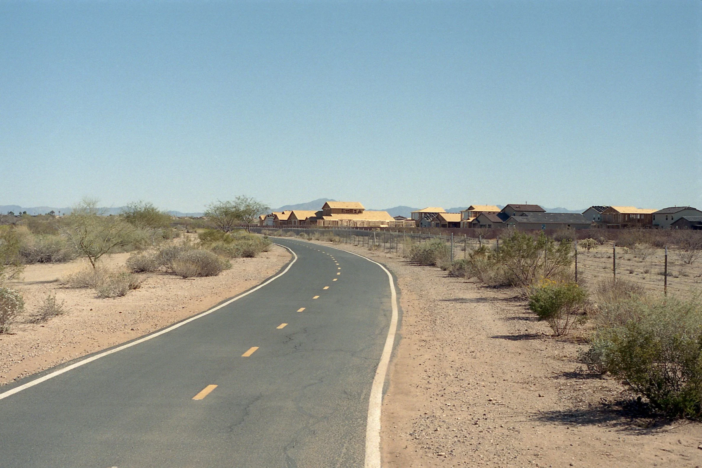
The Loop in Tucson consists of 131 miles of paved path traversing multiple parks and trailheads, providing direct access to the unique environment of the Sonoran Desert. It also connects schools, businesses, restaurants and other public venues making it an accessible option of transportation, when properly maintained.
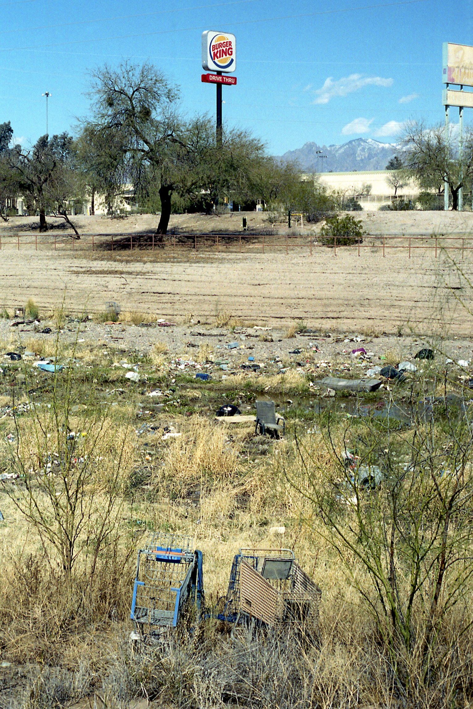
The extensiveness of The Loop means it runs through regions with people of every social class. The physical conditions and surroundings along the path indicate the geographical disparities within the Tucson community. These disparities are emblematic of inequality and climate change, both primary calamities of a late-stage capitalist society.
Tucson, Arizona /// March 2021


Inequality
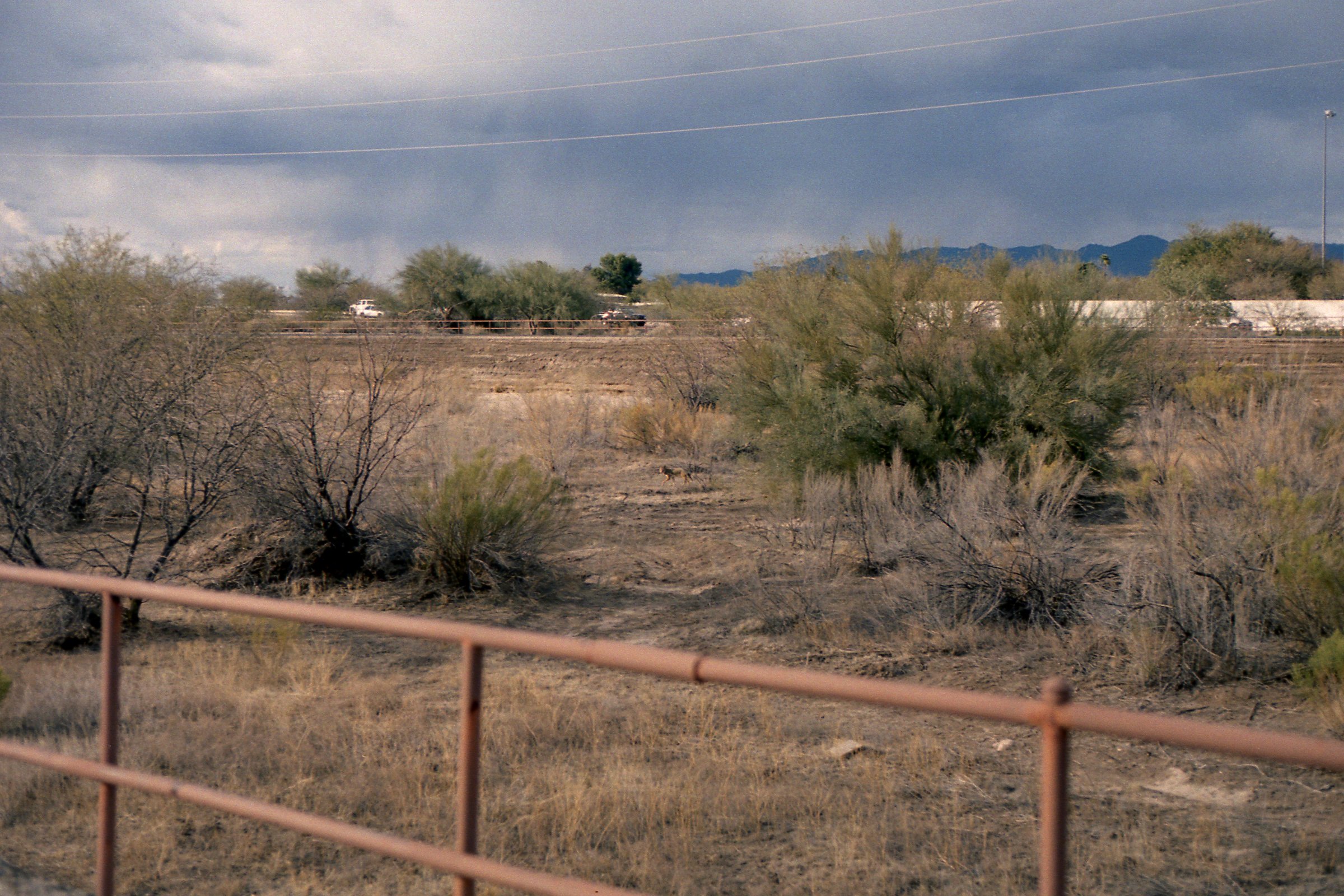
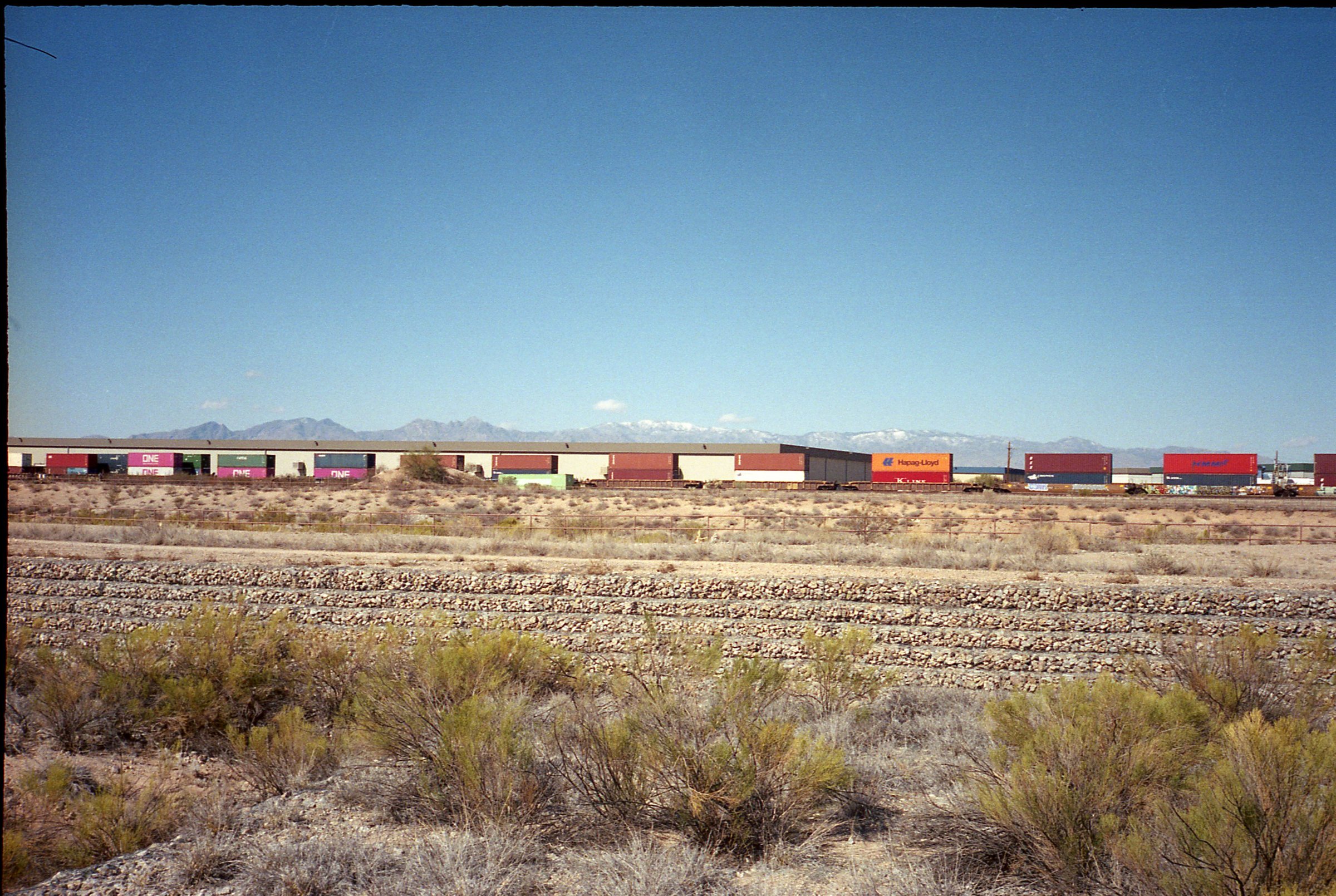
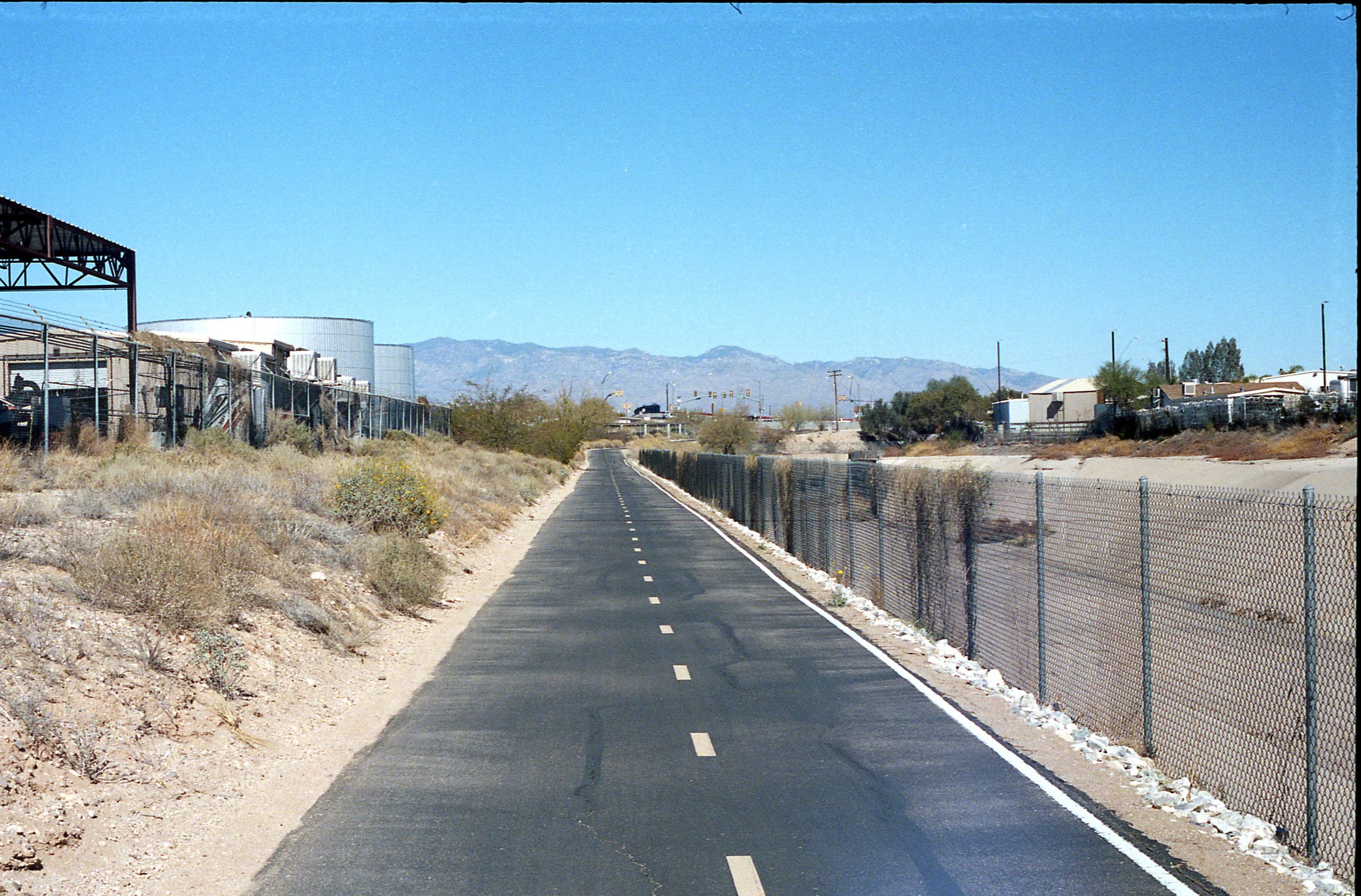
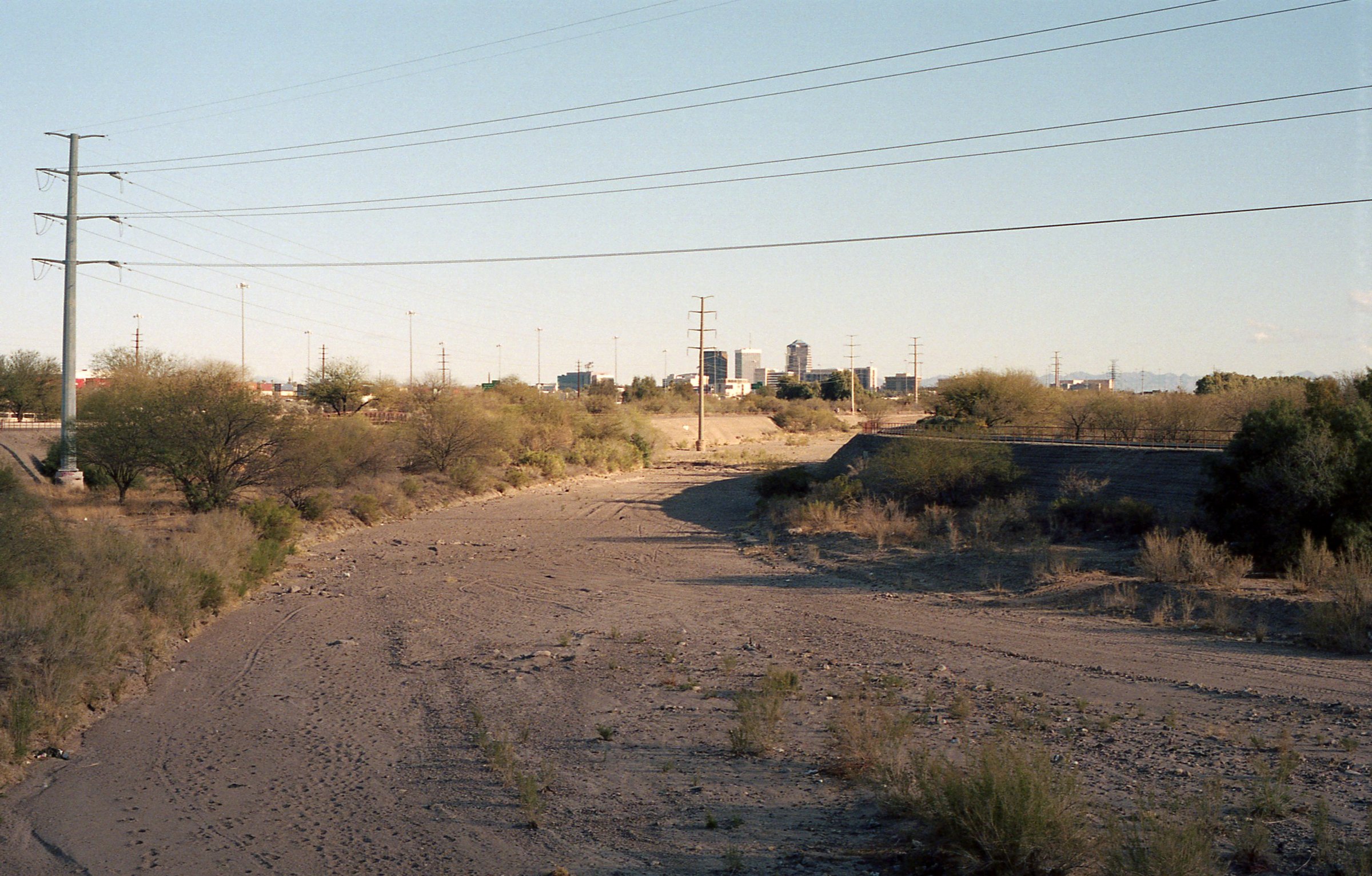
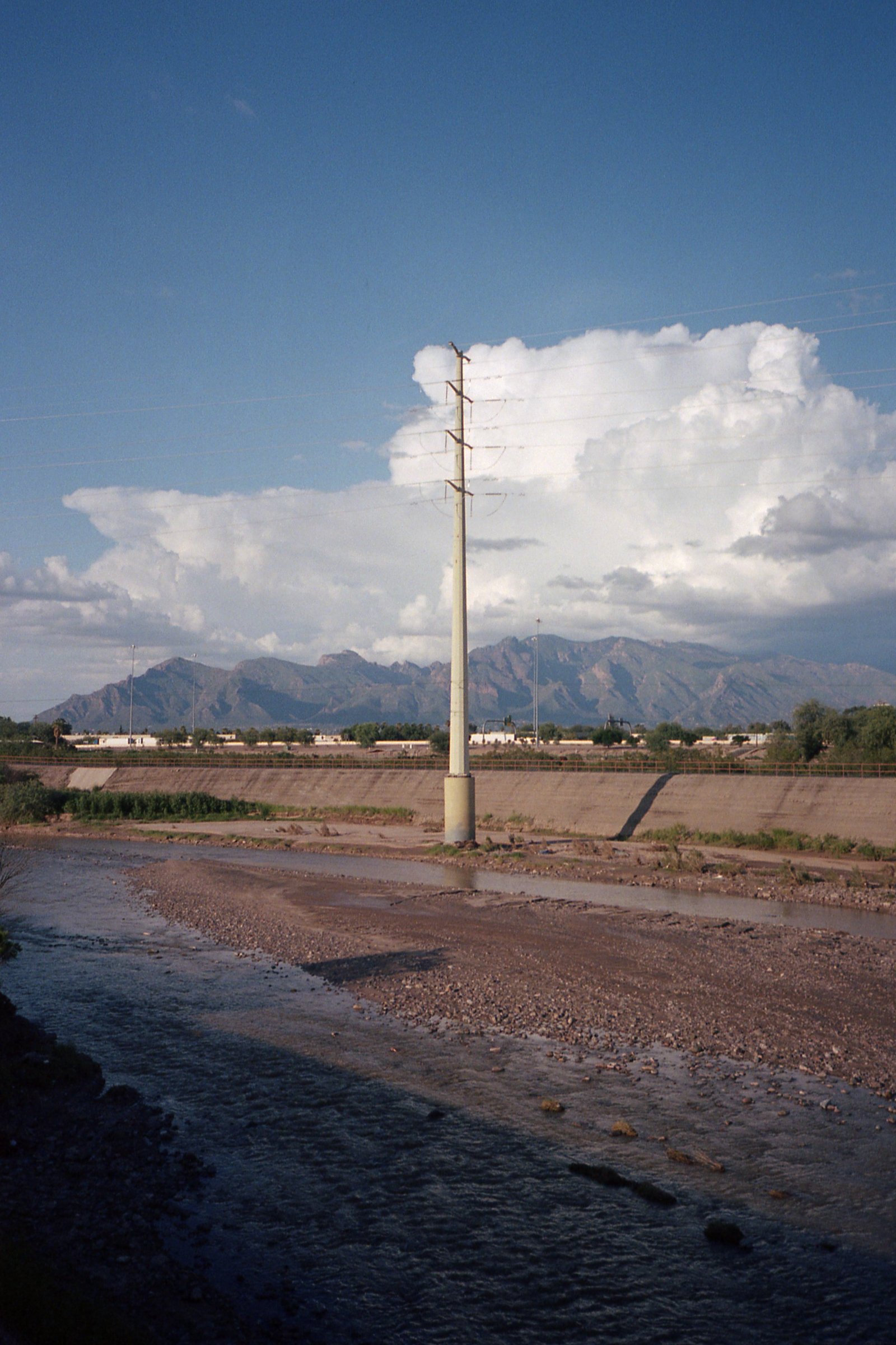
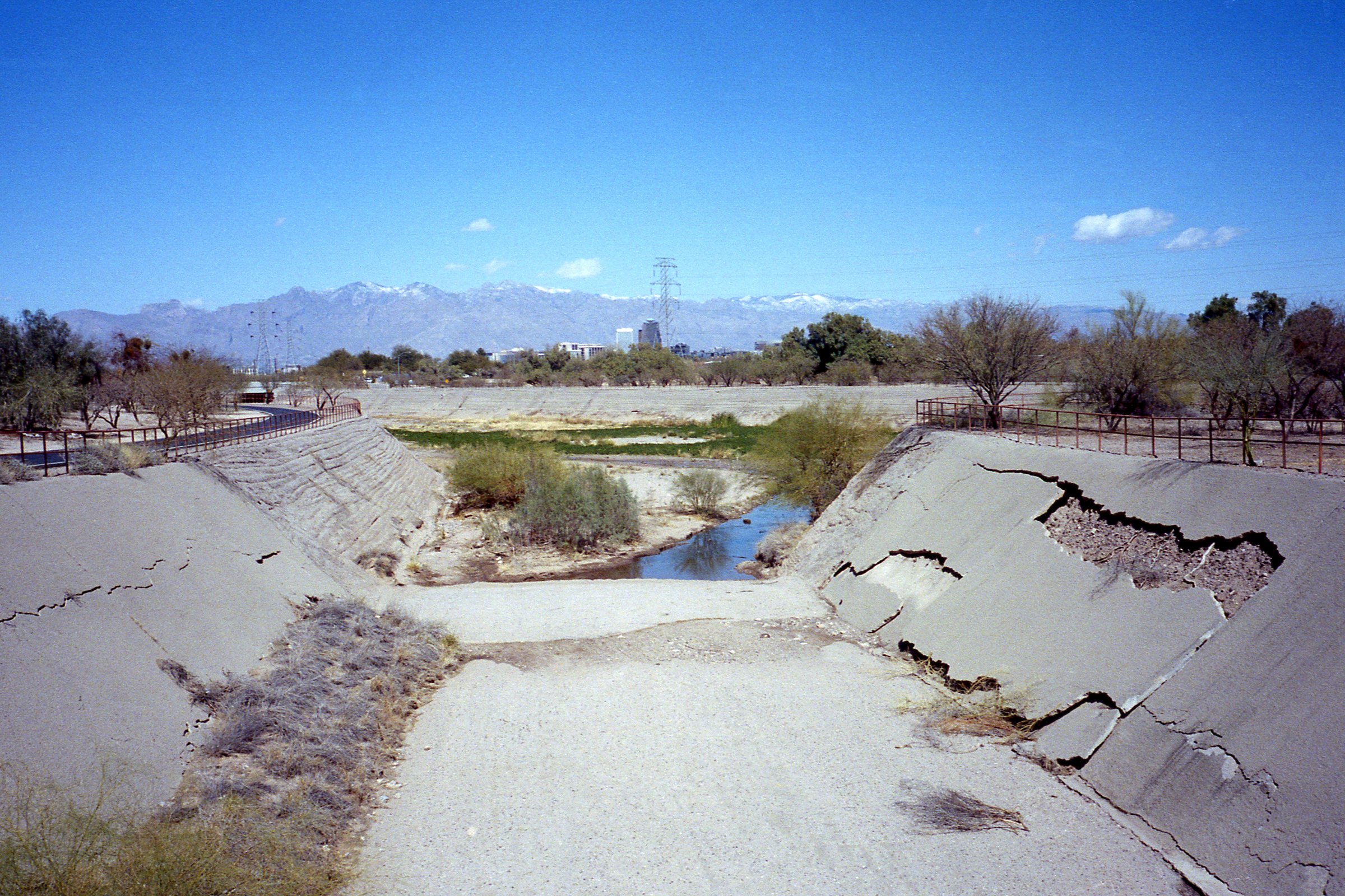
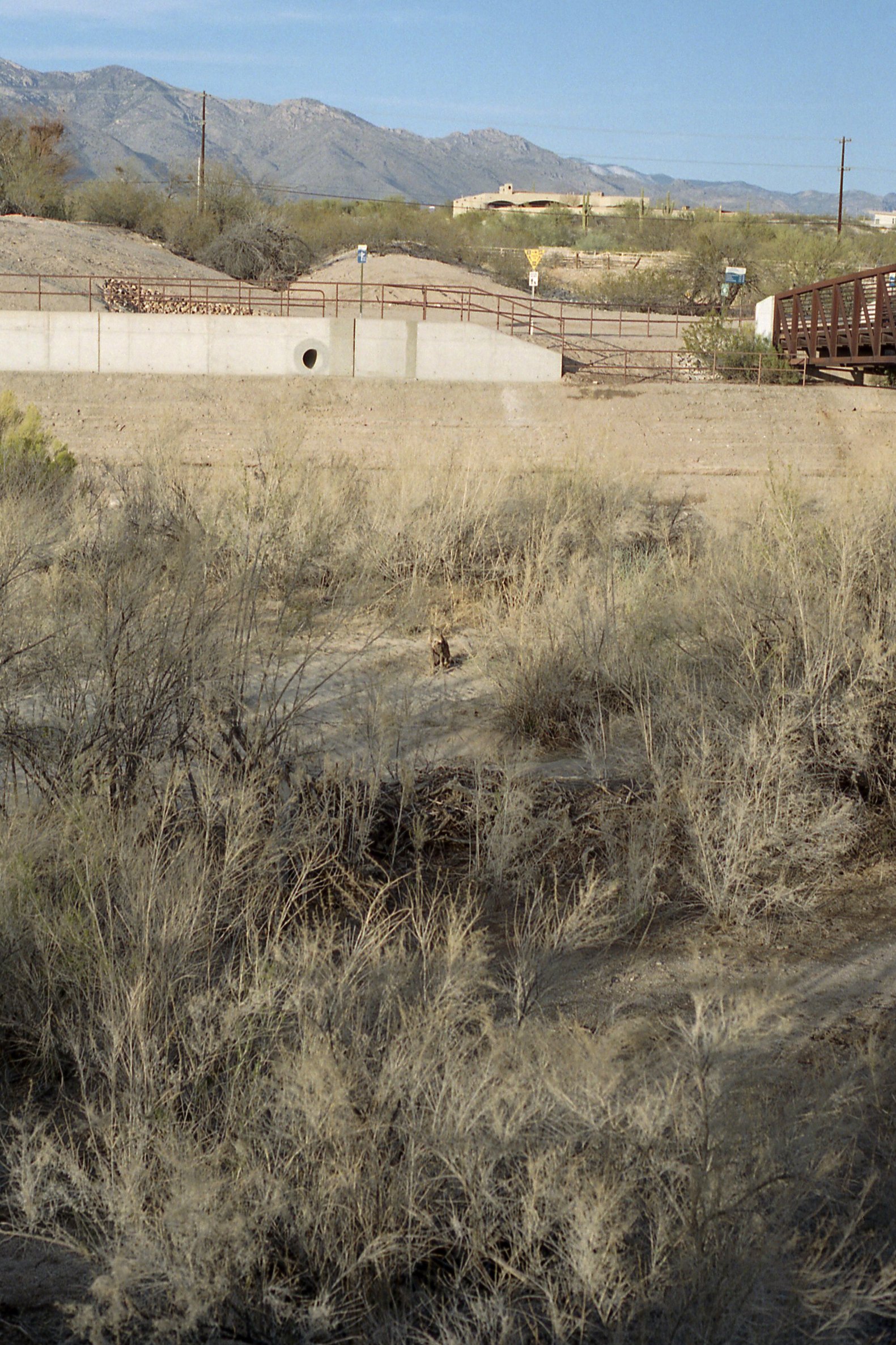
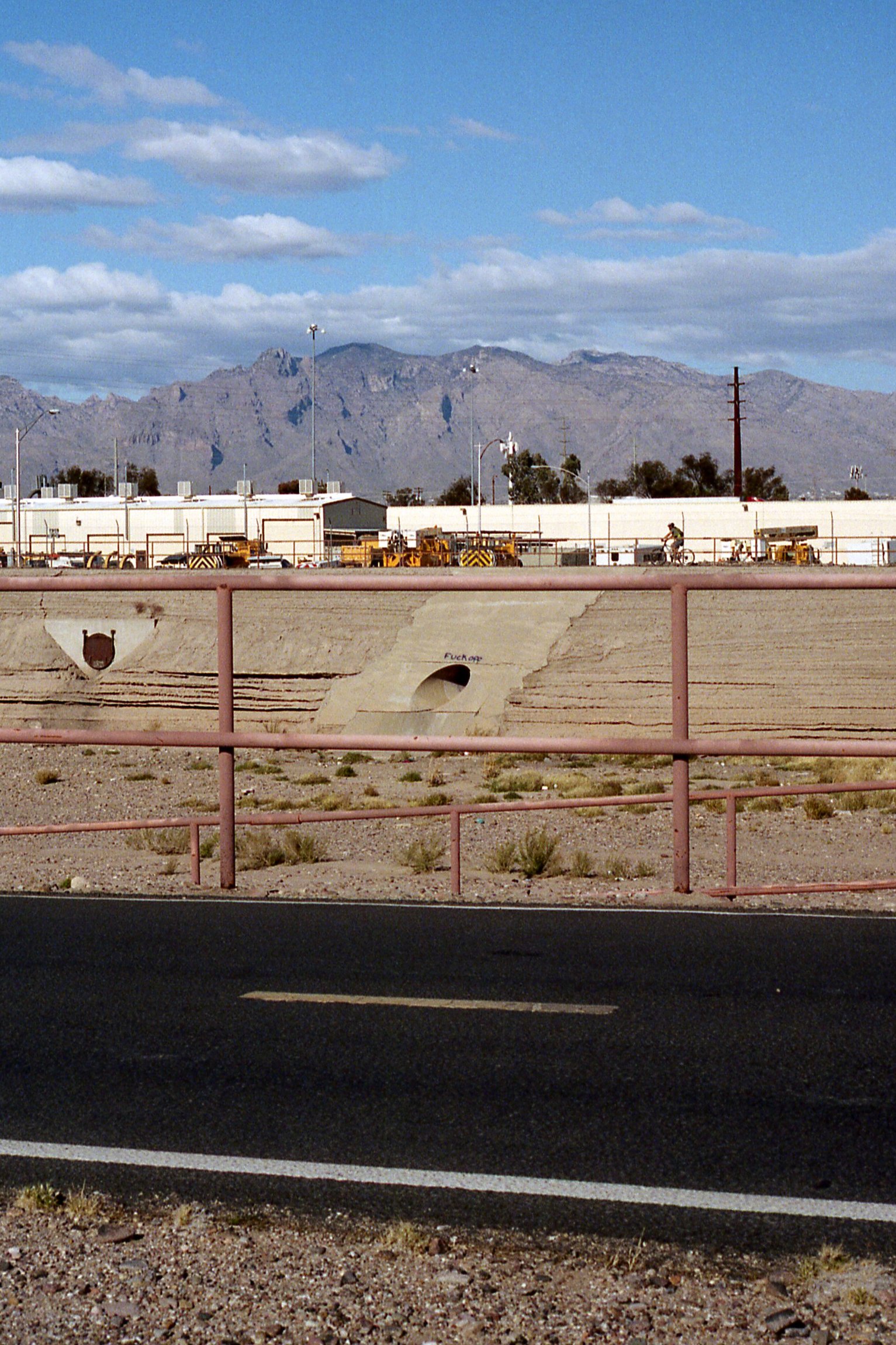
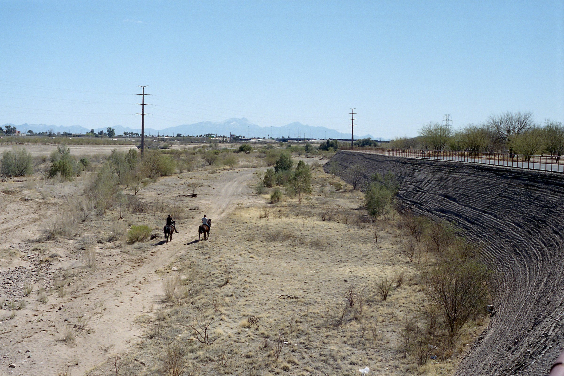
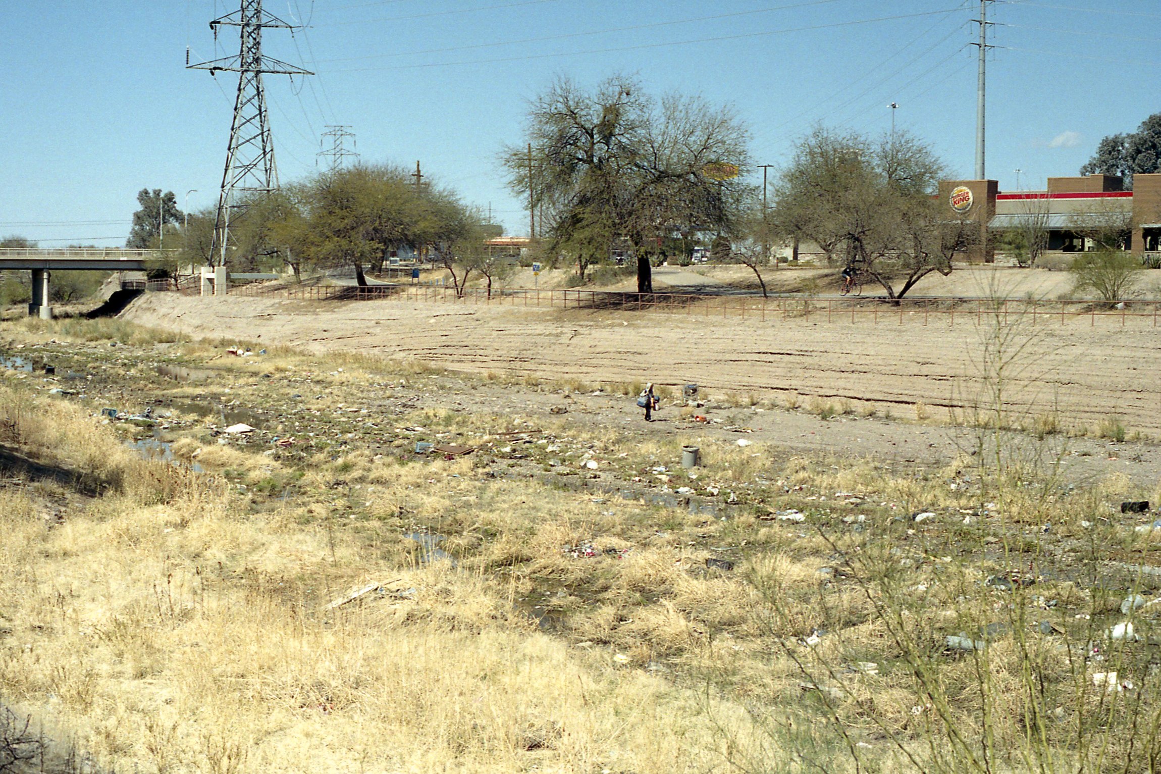
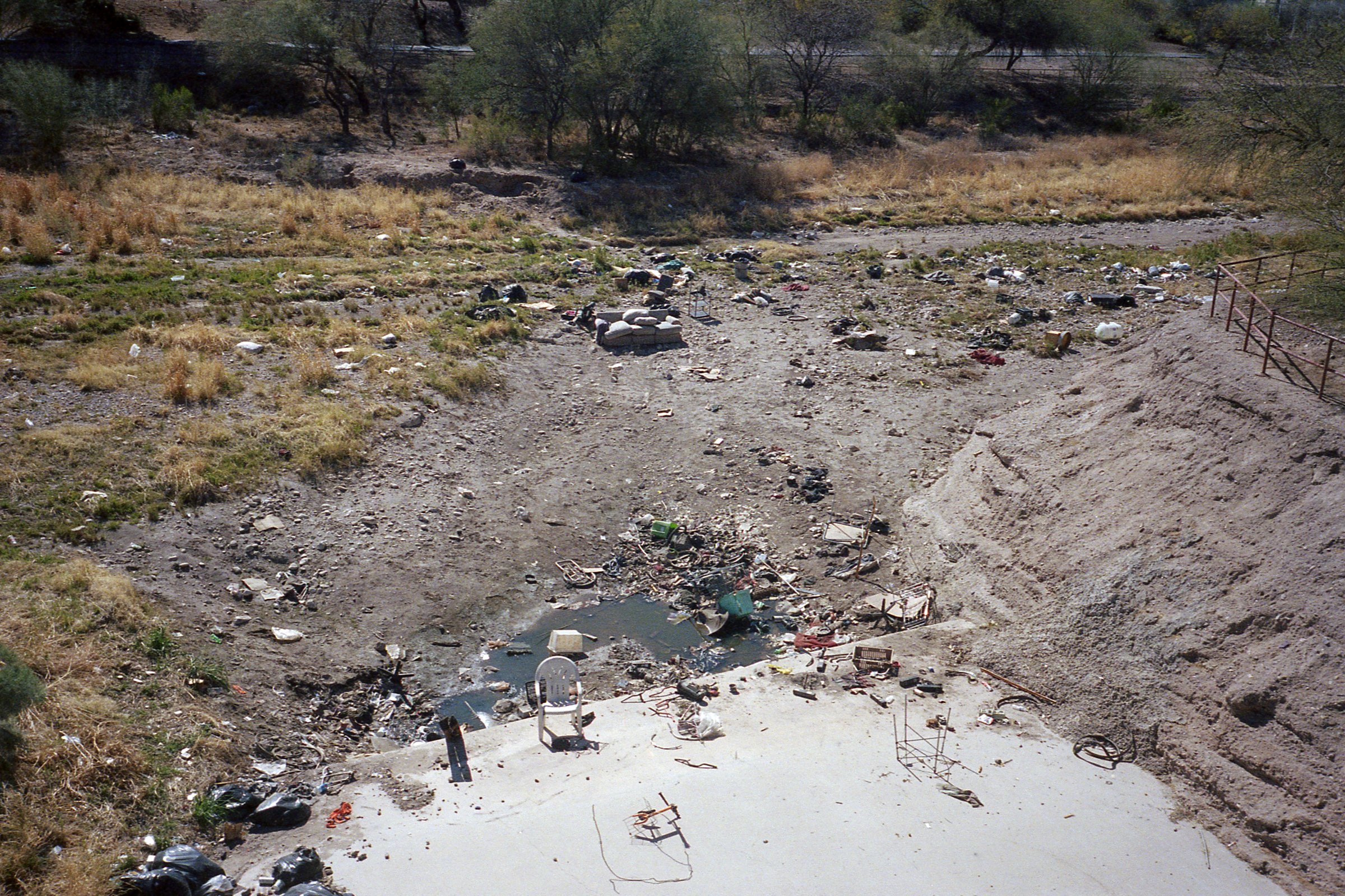
The are existing social and economic disparities along the stretch of path of the Rillito River in the north of the city, and the Santa Cruz River which extends well into South Tucson. Portions of the path in the south remain dominated by industrial activities, while pieces of path to the north stretch along the river, mostly uninterrupted and clear of debris.
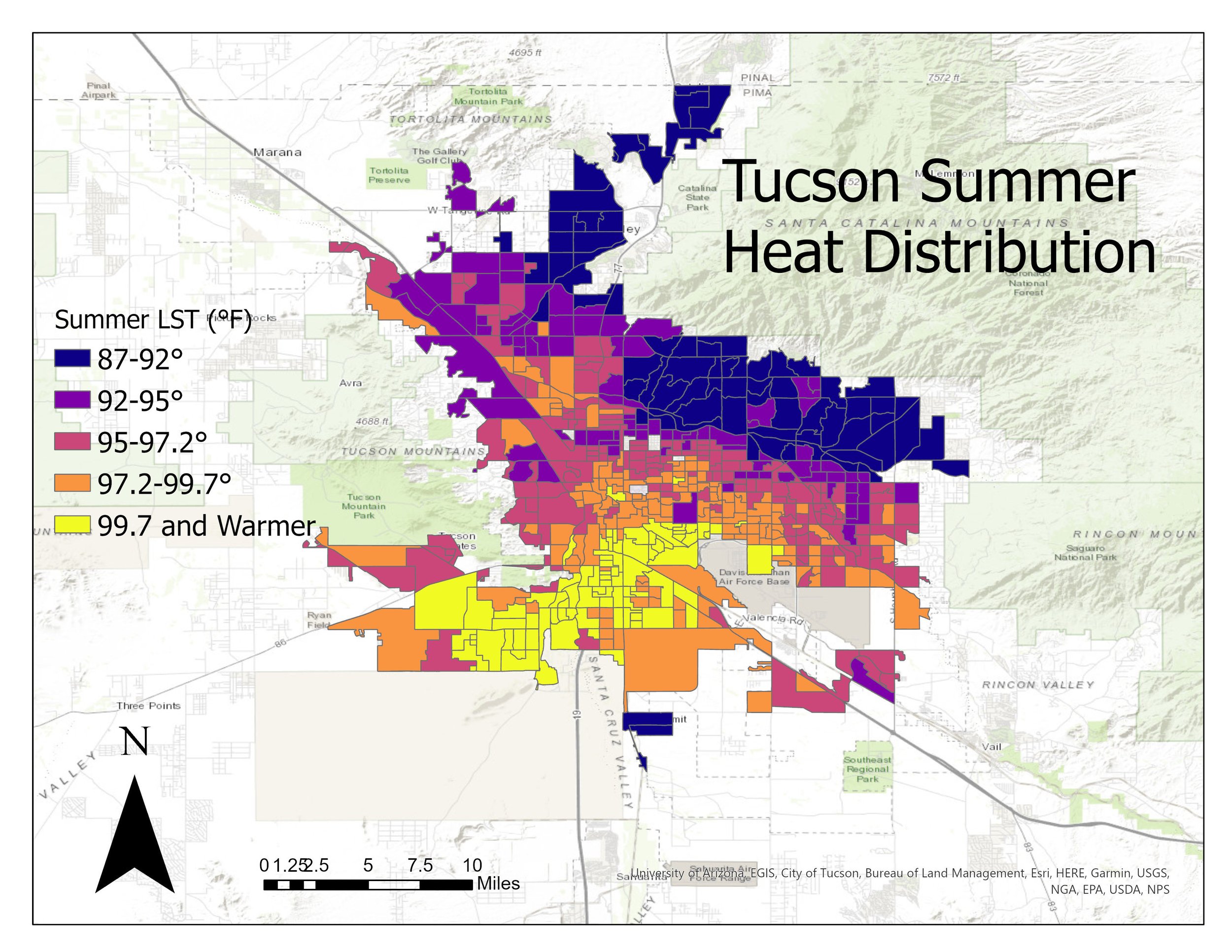
The relationship between north and south is crucial when considering thermal inequality. The Summer Heat Distribution map (below) developed by Jake Dialisandro and others at University of California-Davis illustrates a clear disparity in temperature between the north and south regions. Most poor and Latinx neighborhoods are located in South Tucson.
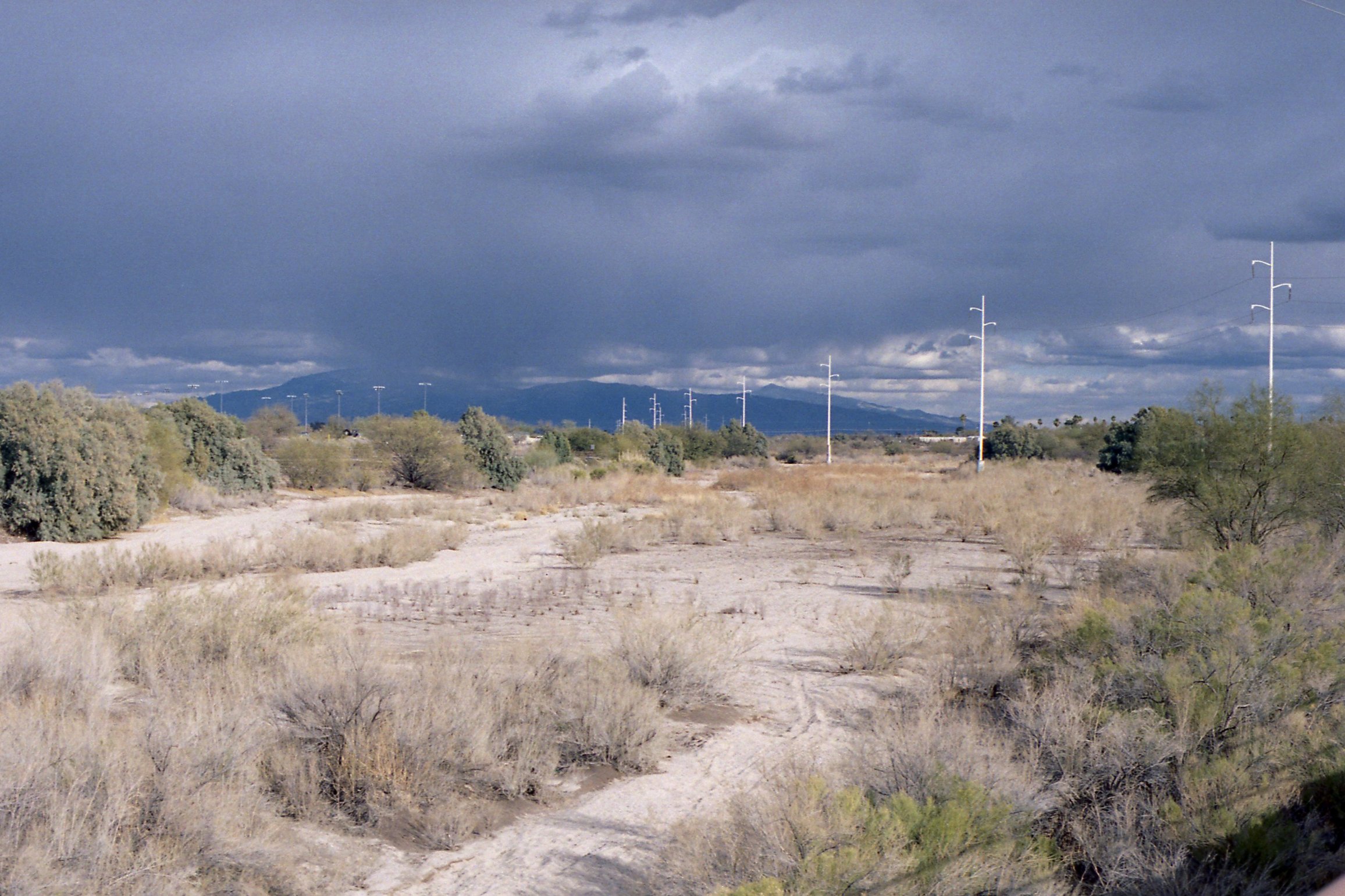
Santa Cruz River
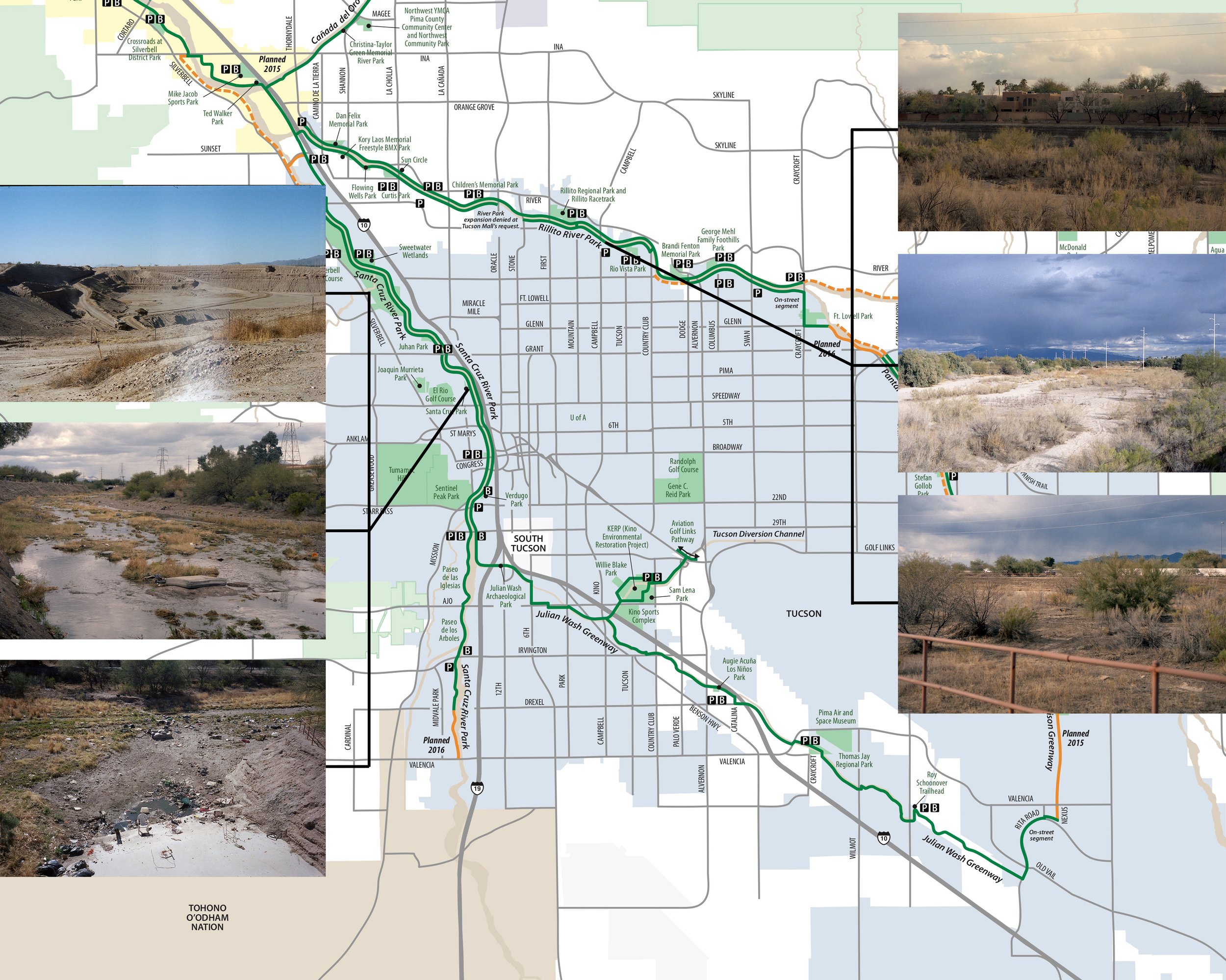
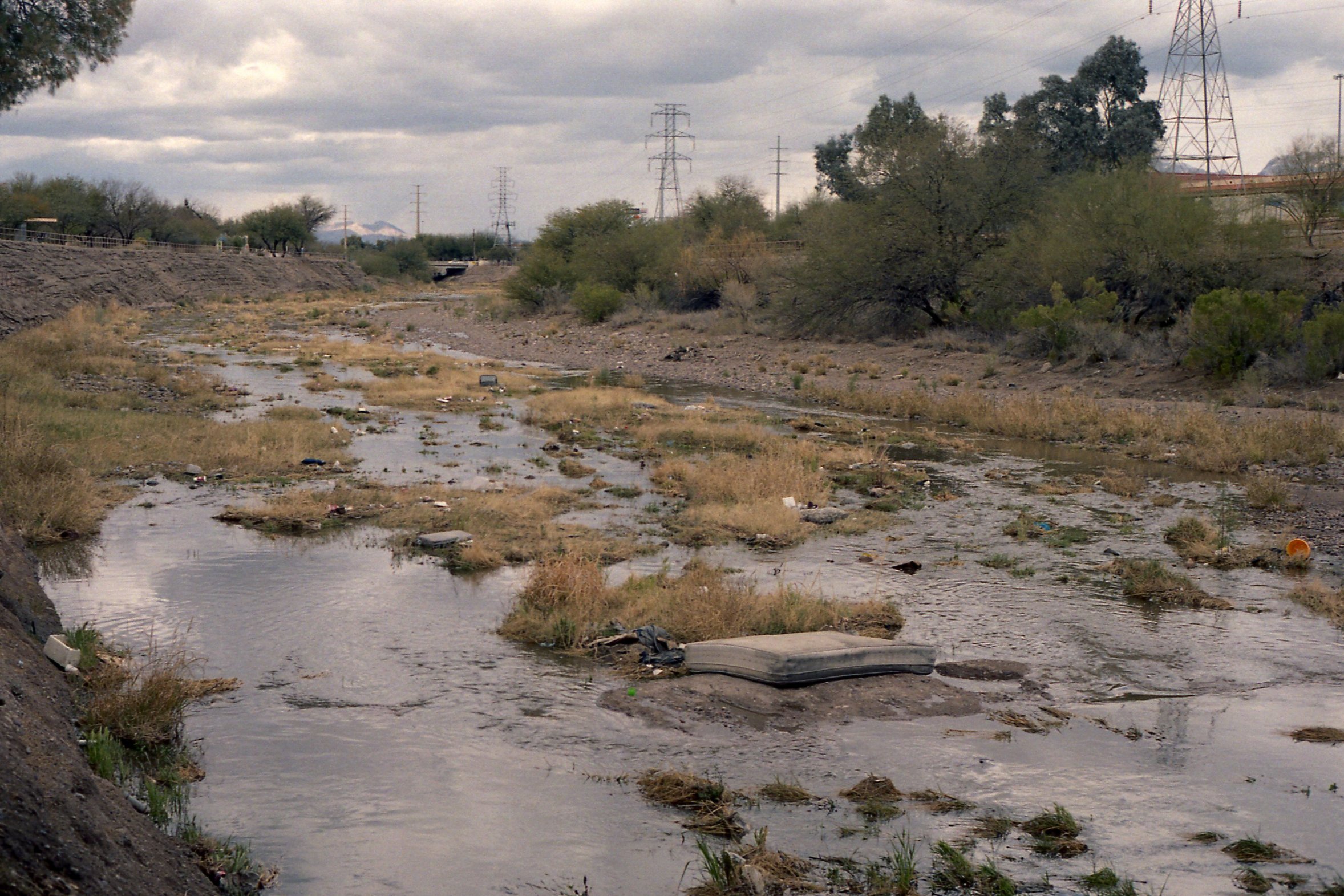
Rillito River
Water
These images compare one of the driest periods ever, to one of the wettest ever in Tucson, all within the same year. This dramatic shift in the landscape is captivating, but unfortunately is a reminder of the indisputable consequences of climate change; the devastating result of capitalism.
Most of The Loop runs along the rivers, which function as channels for all the city’s storm drains. When the monsoons come, these channels live up to the legend and become “rivers”. It is often overlooked that these massive flows represent a loss of opportunity for rainwater harvesting. Millions of gallons of water rush downstream, away from the soils and infiltration basins that could replenish community gardens and trees. Urban tree canopy and other forms of vegetation are known to help lower average temperatures in cities, especially in desert climates. This is a sustainable way to combat the existing thermal inequality.


This project is a constant work in progress, as all public projects working toward improving quality of life ought to be.